Overview
GIS, ArcGIS, Spatial Analysis, ArcMap Basics, Geodatabase and shapefile, Use of ArcCatalog, Working with shapefile, Geo referencing, Map Digitization and map Tracing, Geoprocessing, Working with raster, Network analysis, Raster file creation, Create Map document and export, Map Making
This course target Novice with Passion to learn and become Pro In ArcGIS
No, just ArcGIS software INstalled in your device.
Transitioning from a novice to a pro in ArcGIS Desktop involves mastering a range of skills and functionalities. Below is a comprehensive roadmap that outlines the key steps and resources to help you achieve proficiency in ArcGIS Desktop:
Roadmap to Mastering ArcGIS Desktop
1. Introduction to GIS and ArcGIS Desktop
Understanding GIS Concepts:
Learn about Geographic Information Systems (GIS) and their applications.
Understand spatial data types: vector and raster data.
Getting Started with ArcGIS Desktop:
Familiarize yourself with the ArcGIS Desktop interface (ArcMap or ArcGIS Pro).
Learn about ArcCatalog for data management.
Get an overview of map documents, layers, and data frames
2. ARCMAP BASICS
ArcGIS Interface
Attribute Table
Making Selections
Zooming
Magnify
Coordinate systems and measure
Changing color of shapefile
Adding fields and calculating geometry
How to export new shape file
How to add Labels
How to edit Attribute Table
Identify tool
3. GEODATABASE AND SHAPEFILE
How to Create Geodatabase
How to Create Feature Dataset
How to Create Feature Class
How to Categorize features
How to Create shapefiles
5. WORKING WITH SHAPEFILES
Statistics
Field Calculator
Creating Graphs part-1
Creating Graphs part-2
Data types
How to change color of polygon selection
Shapefile transparency
How to do choropleth mapping
How to do choropleth mapping part-2
6 GEO REFERENCING
How to Georeferenced using shapefile
How to Georeferenced using Raster
How to Georeferenced using coordinates
How to Georeferenced using Google earth
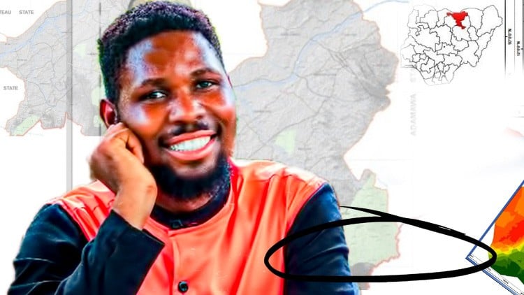
Rimamfenten Shamaki Tsob Zakka
Rimamfenten Shamaki Tsob Zakka is an accomplished geomatics professional with a robust academic and technical background in surveying and geoinformatics. Born with a natural curiosity for the earth sciences and a passion for geographic information systems, Rimamfenten has dedicated his career to mastering the intricate details of geomatics.
Academic Background
Rimamfenten's academic journey began at Kaduna Polytechnic, where he earned a National Diploma (ND) in Surveying and Geo-Informatics. This foundational education sparked his interest in the field, leading him to pursue further studies at Ahmadu Bello University in Zaria. There, he achieved a Bachelor of Science (BSc) degree in Geomatics, equipping him with advanced knowledge and practical skills in the discipline. Currently, Rimamfenten is furthering his expertise by undertaking a Master of Science (MSc) degree at Ahmadu Bello University, Zaria, with his research and studies poised to contribute significantly to the field of geomatics.
Technical Skills
Rimamfenten possesses a diverse and comprehensive set of technical skills crucial for modern geomatics and geospatial analysis. His proficiency spans several industry-standard software applications, including:
ArcGIS Desktop
ArcGIS Pro
QGIS
ERDAS IMAGINE
Adobe Premiere Pro
Adobe After Effects
Adobe Photoshop
These tools enable Rimamfenten to perform complex spatial data analyses, create detailed maps, process remote sensing imagery, and produce high-quality visual content, showcasing his versatility and technical acumen.
Soft Skills
In addition to his technical prowess, Rimamfenten is highly regarded for his soft skills. His ability to think critically and solve problems efficiently sets him apart in the field of geomatics. These skills, combined with his technical knowledge, allow him to approach challenges with a balanced and innovative perspective, ensuring effective solutions and advancements in his projects.
